
US & World Maps
Own archival art and photos printed on acid free paper in the USA.
Showing all 12 results
-
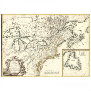
Carte du Canada et des Etats-Unis de l’Amérique Septentrionale
-
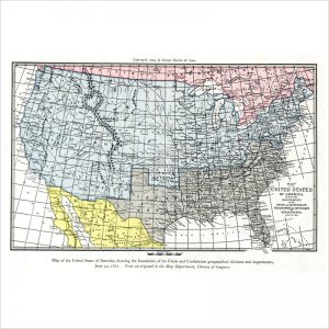
Map of the United States of America – Union and Confederate boundaries, 1861
-
Map of the United States of America- Union and Confederate boundaries, 1861
-
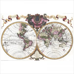
Mappemonde a l’usage du roy
-
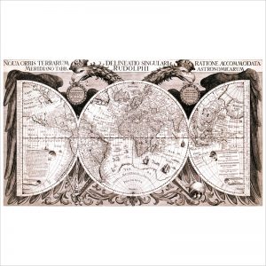
Noua orbis terrarum delineatio singulari ratione accommodate
-

Noua, et integra uniuersi orbis descriptio
-
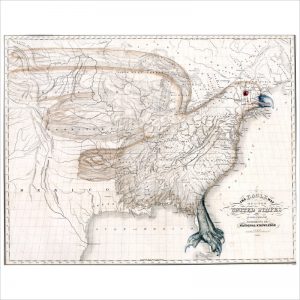
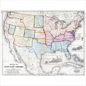
The eagle map of the United States
-

The Great Central Route
-
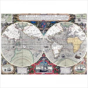
Vera totius expeditionis nauticæ : descriptio D. Franc. Draci
-
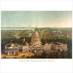
View of Washington City / lith. & print by E. Sachse & Co., Baltimore, Md.
-
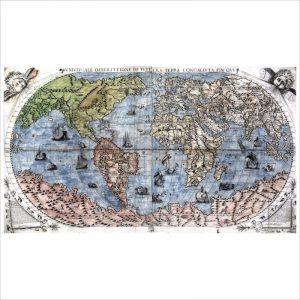
Vniversale descrittione di tvtta la terra conoscivta fin qvi
-

Vniversale descrittione di tvtto il monde