
Maps
Own archival art and photos printed on acid free paper in the USA.
Showing 49–72 of 83 results
-
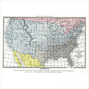
Map of the United States of America – Union and Confederate boundaries, 1861
-
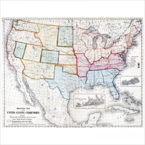
Map of the United States of America- Union and Confederate boundaries, 1861
-
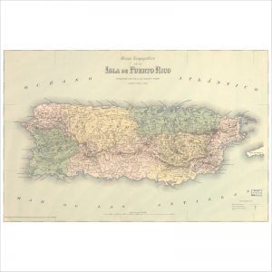
Mapa topográfico de la isla de Puerto Rico
-
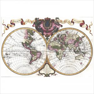
Mappemonde a l’usage du roy
-
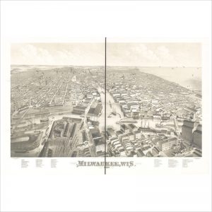
Milwaukee, Wis. 1879
-
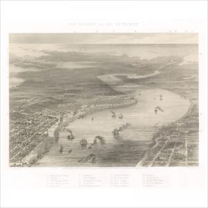
New Orleans, La. and its vicinity
-
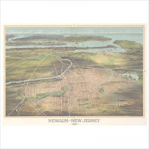
Newark, New Jersey 1916
-
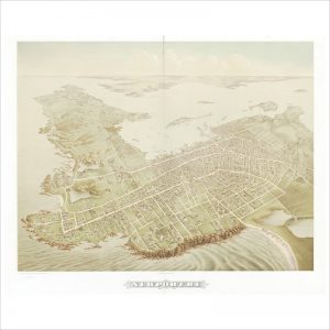
Newport, R.I. 1878
-
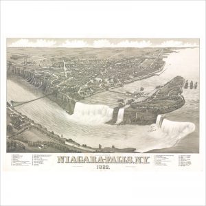
Niagara-Falls, N.Y. 1882
-
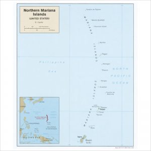
Northern Mariana Islands (United States)
-
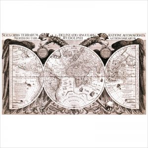
Noua orbis terrarum delineatio singulari ratione accommodate
-

Noua, et integra uniuersi orbis descriptio
-
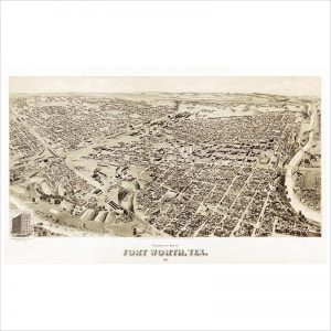
Perspective map of Fort Worth, Tex. 1891
-
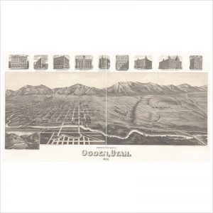
Perspective map of Ogden, Utah 1890
-
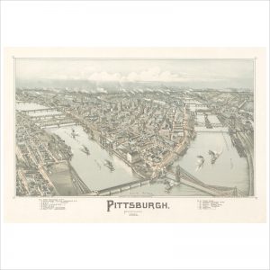
Pittsburgh, Pennsylvania 1902
-

Portland, Oregon
-
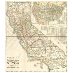
Railroad and County Map of California
-
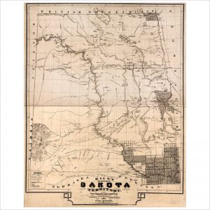
Rice’s sectional map of Dakota Territory
-
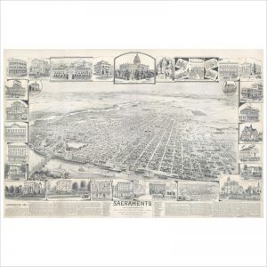
Sacramento
-
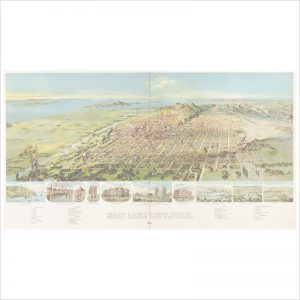
Salt Lake City, Utah 1891
-
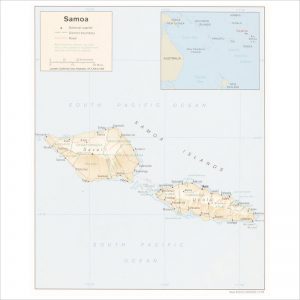
Samoa
-
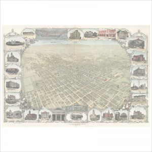
San Jose, California
-
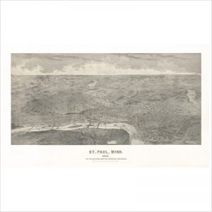
St. Paul, Minn. : ice palace and winter carnival souvenir
-
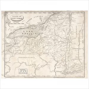
State of New-York for Spafford’s gazetteer