
Maps
Own archival art and photos printed on acid free paper in the USA.
Showing 25–48 of 83 results
-
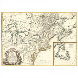
Carte du Canada et des Etats-Unis de l’Amérique Septentrionale
-
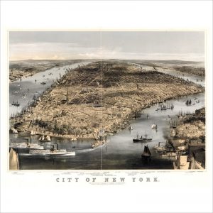
City of New York
-

Cleveland, Ohio
-
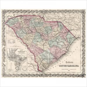
Colton’s South Carolina
-
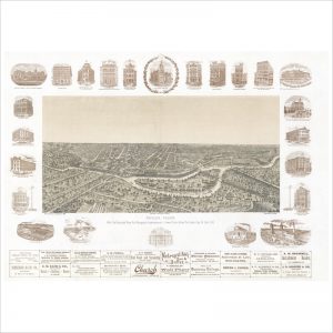
Dallas, Texas with projected river and navigation improvements
-

Foxborough, Mass. 1879
-

Fresno, California 1901
-
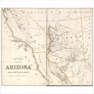
Hartley’s map of Arizona
-
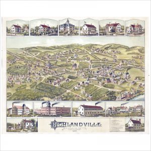
Highlandville, Massachusetts 1887
-
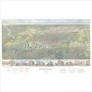
Houston, Texas, 1891
-
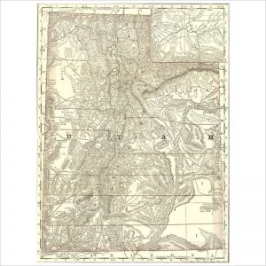
Indexed map of Utah with a new and original compilation and index
-
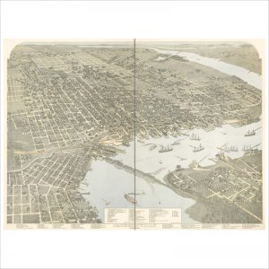
Jacksonville, Florida
-
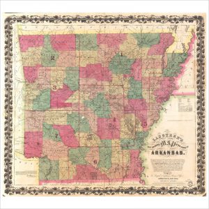
Langtree’s new sectional map of the state of Arkansas
-

Map of Michigan, Railroad, Township and Sectional
-
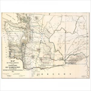
Map of public surveys in the territory of Washington
-
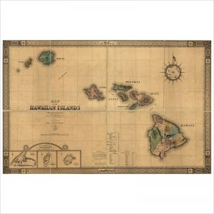
Map of the Hawaiian Islands
-
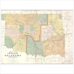
Map of the Indian and Oklahoma territories
-
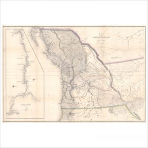
Map of the Oregon Territory
-
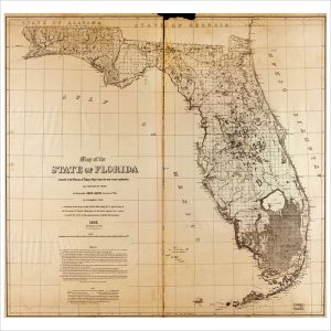
Map of the state of Florida, 1873
-
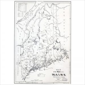
Map of the state of Maine
-

Map of the State of Maryland
-
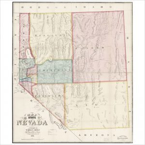
Map of the State of Nevada
-
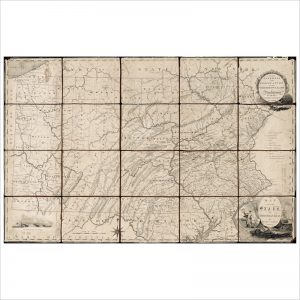
Map of the state of Pennsylvania
-
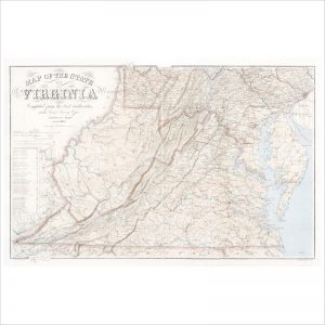
Map of the state of Virginia